OsmAnd
Offline OpenStreetMap maps and navigation for Android and iOS, with a setting for nearly everything.
Instead of Google Maps
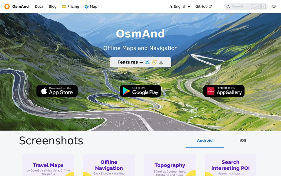
Screenshot from osmand.net, taken 2026-10-23, shown to help you recognise the tool. It belongs to its maker. Ask us to remove it.
OsmAnd is a map and navigation app that uses OpenStreetMap data and says it works totally offline, with no roaming charges abroad. It is made by OsmAnd BV and its code is public. It pays its way by selling the paid OsmAnd+ app and an OsmAnd Pro subscription, and it also takes donations.
The free version caps you at 16 map downloads and leaves out Wikipedia points of interest, and contour lines need a paid plugin. That is a fair way to fund a map, though it puts a small nudge in the product, and the app is dense enough that it takes longer to learn than CoMaps. We could not confirm its licence from the pages we read, and we have not checked its privacy claims ourselves.
- Offline OpenStreetMap maps and navigation, with no roaming charges abroad
- The free version caps map downloads at 16 files
- Dense, with a setting for nearly everything
What stands out
Do you make OsmAnd? Get the badge for your site
This badge reports a dated review. It is not a certification and it costs nothing. Link it to this page and leave the numbers alone: the image always shows the current score.
For dark backgrounds, use osmand-dark.svg in place of osmand-light.svg.
For comparison, we also reviewed Google Maps (17/30) as a benchmark.